Civic Footprint 🔗
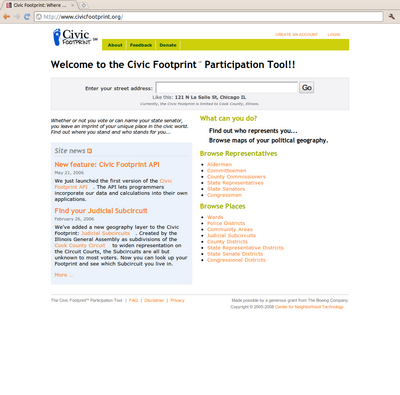
I created a site while at the Center for Neighborhood Technology in 2005 called the Civic Footprint. This was a site where you typed in your address, and it showed you who represented you politically, down to the local level (congressman, state senator, alderman, etc.), and a map of all your political geographies. This was an early Ruby on Rails site, and I hacked in geospatial support to ActiveRecord so that I could make queries against the PostGIS database containing the political boundaries. The maps were generated by MapServer.